Ooststellingswerf

Image by Rechtenvrij van Michel

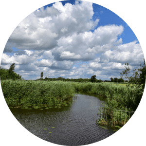
A landscape with lots of reeds (Trip through inland waters)

Ooststellingwerf

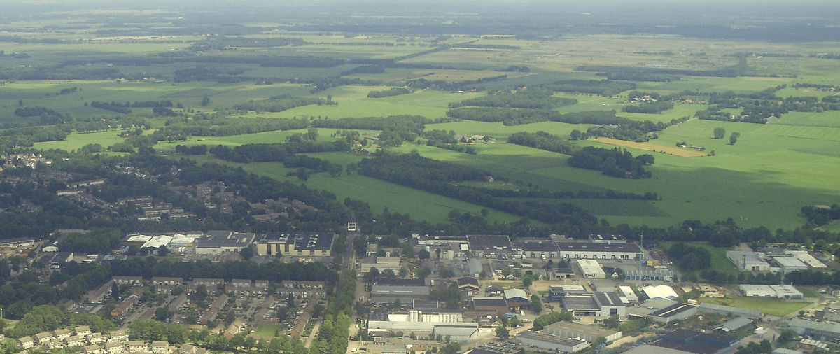
The Dutch municipality of Ooststellingwerf is located in the northern province of Friesland and inhabits 26.000 people. Besides in the main village Oosterwolde (10.000 inhabitants) most people live in one of the other 12 villages located in rural settings. The municipality is 26.000 hectares in size which are mainly (70%) in agricultural use. Dairy farming is the prominent function, but also arable farming is present. 

The landscape is diverse as a result of the presence of peat soils (north and west) and of sandy soils (east and south). Two well-known and valuable nature areas are located (partly) within the borders of Ooststellingwerf, namely ‘Fochteloërveen’ and ‘Drents-Friese Wold’. Both are protected by Nature 2000.

  • Dairy farming areas are often located close to sensitive Natura 2000 sites, leading to conflicts between agricultural activities and nature conservation.
  • Groundwater extraction and nitrogen deposition from agriculture damage surrounding nature areas, affecting biodiversity and ecological health.
  • Local farmers are constrained by regulations designed to protect and restore biodiversity in these natural areas, limiting their ability to use traditional farming practices.
  • Conversion of these areas from dairy farming to less nitrogen-intensive arable farming is an opportunity to achieve a better balance between agricultural land use and environmental protection.
  • Changing farming practices can create a more sustainable symbiosis between land use and the natural environment (soil, water, ecology).
  • A new perspective is needed for local farmers to adapt their business models and farming practices to the protection of natural values and biodiversity.

Environmental plans (Omgevingsplannen) for the municipality Ooststellingwerf are being made under the (recent) Environment and Planning Act of the Netherlands (Omgevingswet). This recent act combines and modernises laws for spatial planning, housing, infra­structure, the environ­ment, nature and water. It focuses on a healthy physical environment that meets the needs of society. 

This SPADES pilot aims to develop knowledge on the local soil and water systems, their implications for spatial functions (related to local challenges), and the integrate this knowledge into practical and applicable guidelines and recommendations for the local environmental plans. 

The steering of environmental and spatial planning by soil and water policy is hereby the main ambition. Knowledge on soil and water need to be developed, and translated into guidance for planning and design. With special emphasis on the transition of agricultural areas in the vicinity of sensitive nature areas from dairy to arable farming. 

Aerial view Oostellingswerf

Image by Rightsfree from Michel

Aerial view of Oostellingswerf.

Contact: Mark Niesten, Deltares (mark [dot] niesten [at] deltares [dot] nl (mark[dot]niesten[at]deltares[dot]nl)